






Hiking Trails in the Hengill Area
All are welcome!
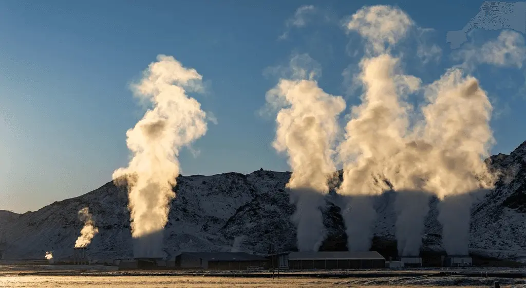
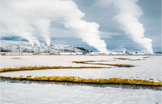
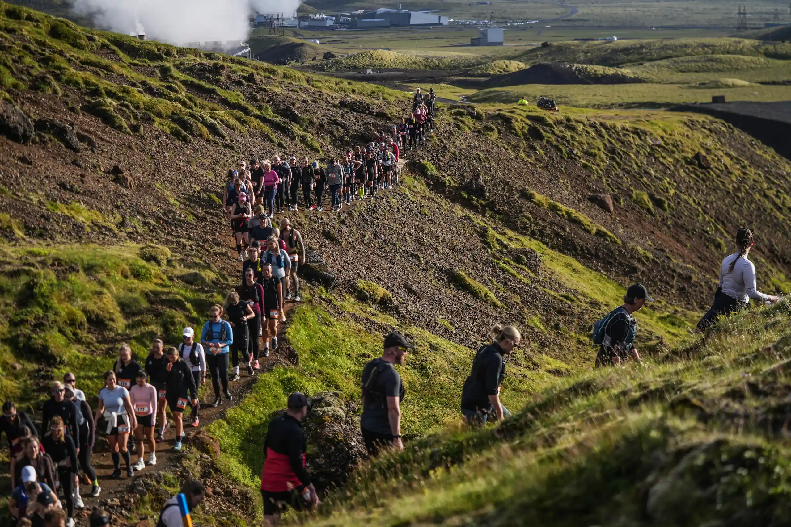
The Hengill area is a high-temperature area roughly 20 kilometers southeast of Reykjavík. It is ideal for a variety of outdoor activities year-round. Tens of thousands of locals and tourists enjoy outdoor activities in the area, which has a network of around 130 km of marked trails, information signs, the Múlasel hiking hut, and a map showing trails and protected routes. ON Power and Reykjavík Energy have been involved in this work since 1991 in consultation with local government. These areas are open to the public, but the operational areas of ON Power‘s geothermal power plants are closed, and special care should be taken around hot springs, hot streams, and boreholes due to the risks of high-temperature steam and gas pollution.
While people are welcome to enjoy the magnificent nature and outdoor recreation area of Hengill, we kindly ask outdoor enthusiasts to treat the area with respect and minimize any disturbances. The Hengill area is located in an active volcanic belt, and it is a unique geothermal area with an unusually high amount of water on the surface. There are hot springs, lava fields, lush green spots, rivers, and lakes. There are also hot streams with unique aquatic life and ecosystems, and wetlands with unique vegetation of high conservation value. The substrate is diverse and does not tolerate heavy traffic, but by following the paths, land degradation and erosion can be prevented and the area can be enjoyed.
Reykjavík Energy has a maintenance team for the hiking trails in the Hengill area, responsible for repairing and laying new trails in the summer. Tips and information on the condition of trails can be sent to hengill@orkuveitan.is.